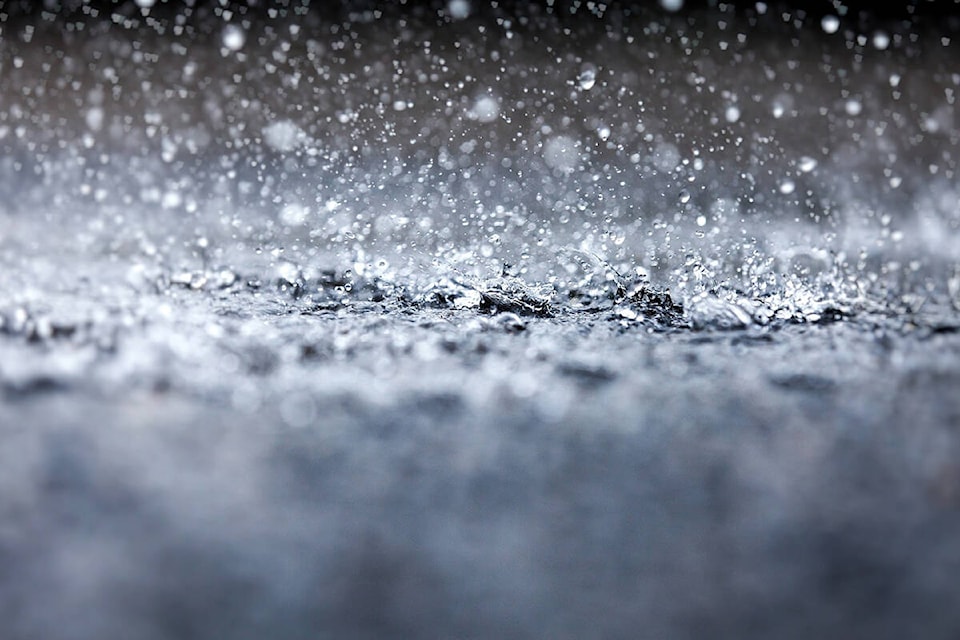
Heavy rainfall in the forecast for much of Thursday with totals of 50 to 100 millimetres hitting the Lower Mainland, according to the warning issued Jan. 12 by Environment Canada.
“Rain at times heavy expected today and tonight,” according to the warning.
It’s a frontal system bringing downpours to the coast today and tonight.
Locations: Metro Vancouver and Fraser Valley but also near the North Shore mountains, Howe Sound, East Vancouver Island - Nanoose Bay to Campbell River, Sunshine Coast and West Vancouver Island.
Total rainfall amounts of 50 to 100 mm is expected before the rain eases on Friday.
The risk is when heavy rain leads to flash floods and water pooling. Localized flooding in low-lying areas is possible. Watch for possible washouts near rivers, creeks and culverts.
RELATED: Freezing rain right before Christmas
Do you have something to add to this story, or a news tip? Email:
jennifer.feinberg@theprogress.com
@CHWKjourno
Like us on Facebook and follow us on Twitter.