UPDATE: The snowfall warning was lifted Wednesday morning.
Thank you for all the reports! Here are the estimated snowfall totals from last night: Vancouver Trace - 4cm, Richmond 2cm, Burnaby 3-5cm, North Van 3-5cm, Surrey 5-10cm, Coquitlam (tri-cities) 5-15 cm, Abbotsford 4-10 cm, Squamish 16cm, and Whistler 5-7cm. #BCstorm
— ECCC Weather BC (@ECCCWeatherBC) February 14, 2018
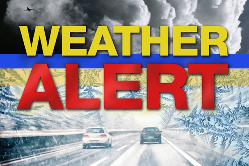
A snowfall warning has been issued for the entire Lower Mainland, stretching from Vancouver , through Abbotsford to Hope.
Environment Canada issued the warnings around 7:30 p.m.
The warning states:
“A moist Pacific front will move across the south coast tonight. Precipitation will be a mixture of rain and snow over lower elevations of Metro Vancouver while higher elevations and areas further inland will see accumulations near 10 cm with local amounts up to 15 cm. The snow will end by early Wednesday morning as the front moves to the south.”
“Be prepared to adjust your driving with changing road conditions. Visibility may be suddenly reduced at times in heavy snow.”