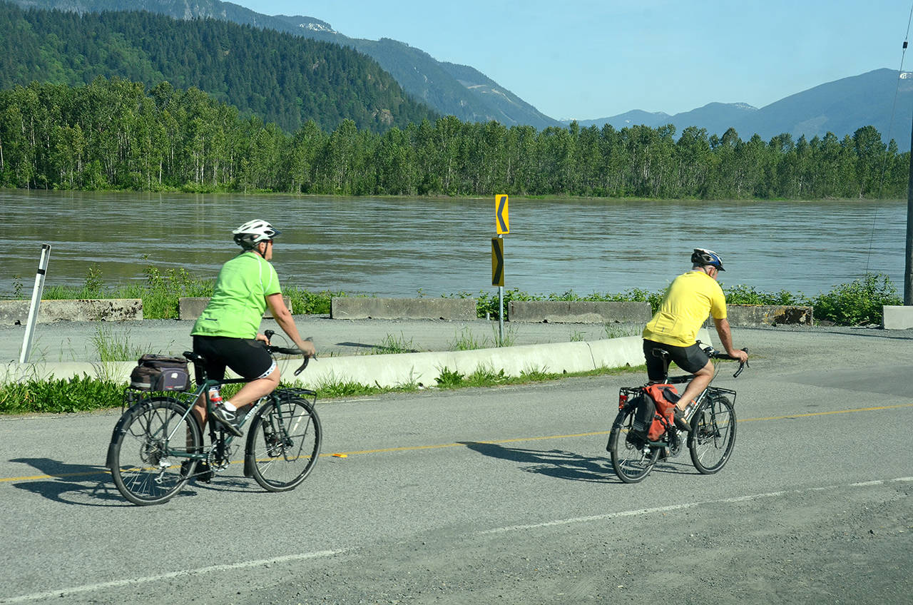
The snowpack started melting earlier this spring in the upper Fraser River watersheds so average peak flows and a low risk of local flooding are forecast this freshet.
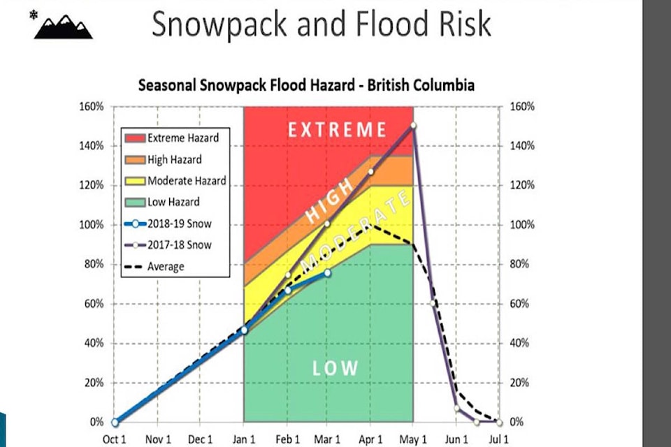
The snowpack index was at 80 per cent of normal last month compared to the historical average, according to the freshet presentation by Frank Van Nynatten, assistant manager of environmental services for City of Chilliwack.
READ MORE: Low snowpack raises drought chances
The 2019 outlook delivered in council chambers recently made it clear the flood risk hazard in Chilliwack this spring from the Fraser River is “low” at this point, as a result of the early snowmelt and low snowpack levels the watersheds that impact Chilliwack.
That prediction is of course barring any stint of weather extreme, since either prolonged hot weather or rain could alter the predictions made so far this spring.
A “high” flood hazard can be the result when when snowpack is more than 120 per cent of normal.
Chilliwack has invested several million dollars in dike upgrades in recent years, including $4.2 million for the McGillivray Pump Station upgrades to improve drainage in Greendale.
Snowpack levels are checked on April 1 and again in May by River Forecast Centre officials to predict peak flows and flood hazard levels during the annual freshet period, which runs from May to July.
Expected “peak flow” for 2019 is 7,500 m3/s at Hope, compared to 10,900 m3/s peak flow in 2018. That peak flow prediction works out to only 4.5 metres at the Mission gauge, which was at 6.0 metres in 2018, and peaked at 5.6 metres in 2017. Just for comparison’s sake, the Fraser flood of 1948 saw the river peak at about 7.6 metres.
See more details at www.chilliwack.com/floodprotection
READ MORE: $1B cost to ag sector from flooding
@CHWKjourno
jfeinberg@theprogress.com
Like us on Facebook and follow us on Twitter.