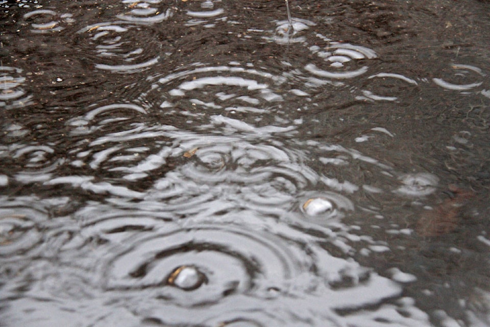
A series of vigorous frontal systems are to blame for the first rainstorm of the season now dousing the entire south coast including the Fraser Valley.
The heavy rain started pelting the region Wednesday morning, and not Tuesday night as forecast bringing rain and a risk of localized flooding.
The weather systems moving in will affect the entire Lower Mainland from now clear into the weekend, according the Environment Canada special weather statements for Sept. 23 like this one aimed at communities from Abbotsford to Hope.
READ MORE: Heavy rain, wind and power outages possible
Expect periods of heavy rain and strong winds in the first active storm cycle of the the fall season.
The first system has delivered downpours from Vancouver Island across to the mainland today and Thursday.
Rainfall intensity will vary through the day and across regions.
Over Vancouver Island, total rainfall amounts over the two day period will generally range from 15 to 40 mm, with amounts in excess of 100 mm over West Vancouver Island. For the mainland coast, total rainfall amounts will range from 30 mm to over 50 mm for the two day period. The heaviest rainfall amounts are currently expected near the mountains.
“This system will also bring strong southeast winds to the west coast of Vancouver Island early this morning. Strong winds over the Strait of Georgia and surrounding regions will peak early this morning. Winds will diminish later today, but gusty conditions will continue,” the EC statement said.
Tonight and Thursday, unsettled conditions will bring a risk of thunderstorms across the region as well.
The combination of heavy rain with leaves on the ground may lead to localized flooding. Strong winds may also lead to power outages.
The wet pattern will continue with more rain expected Friday and Saturday.
Rainfall and wind warnings are now in effect for some regions, and will be updated as needed.
Do you have something to add to this story, or something else we should report on? Email:
jfeinberg@theprogress.com
@CHWKjourno
Like us on Facebook and follow us on Twitter.
Want to support local journalism during the pandemic? Make a donation here.
