Chilliwack is expanding its development moratorium in the Marble Hill area after receiving a geotechnical review that showed considerable ground movement in some areas.
Council established the original moratorium on rezoning and subdivisions in place back in 2004, but since then monitoring of hubs at three-month intervals has been conducted by Klohn Crippen Berger (KCB) geotech firm.
“This ground movement data, as well as ground truthing has resulted in a geotechnical recommendation to enlarge the development moratorium area,” according to the staff report.
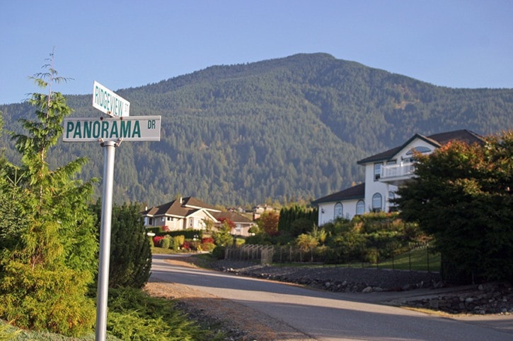
KCB’s report to council from 2014, after collecting and monitoring GPS data for a decade, found there was “ground movement in excess of two (2) metres” in some locations that included the Panorama/Ridgeview subdivision.
Council voted Tuesday, April 4, to enlarge the moratorium area as recommended, and has created a “simplified” map of the prohibited areas for the public.
The expanded range of the moratorium means:
a) No development in the Ridge Crest rockfall hazard areas;
b) Moratorium on further development in Hinkley Creek suspect landslide area;
c) No development in the earthflow area.
Also adopted was the idea for the GPS monitoring program to cover the whole mapped earthflow area.
The moratorium refers to rezoning and subdivision proposals that may come forward for that section of the Eastern Hillsides above Chilliwack.
“If a property owner within the original or proposed moratorium area wishes to build a home or structure, there is a geotechnical investigation methodology prescribed by the City to determine if movement or landslide shale is present on the property.
“The extent of the work required will depend on the proposal. The geotechnical work required will depend on the location,and may include but not be limited to, GPS hub installation and long term monitoring, subsurface material investigation by drilling and subsurface water table investigation by piezometer tube installation.
The original 2004 Development Moratorium map included: Panorama Drive, Allison Place, Ridgeview Street and Ridgeview Place.