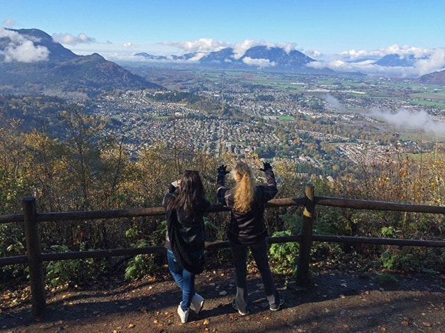
Chilliwack is surrounded by mountains offering a world of hiking right in our own backyard.
But sometimes people don’t have the time or level of fitness to spend an entire day hiking up mountain trails.
The Progress has compiled a list of short hikes for just those reasons. All are two hours or less, roundtrip. This is not a complete list of all short hikes in the Chilliwack area, and the time it may take to complete each hike will vary from person to person.
Teapot Hill
(Cultus Lake)
Located near the Honeymoon Bay group site on Columbia Valley Road. Some very steep sections. View of Cultus Lake and Columbia Valley at the summit. Distance/time: 5 km roundtrip, two hours. Elevation gain: 280 metres. Degree of difficulty: moderate.
Seven Sisters
(Cultus Lake)
Located across from Spring Bay picnic area, this trail connects Entrance Bay and Clear Creek campgrounds. Along the trail are seven large Douglas fir trees, some standing, some fallen. Distance/time: 4 km roundtrip, one-and-a-half hours. Elevation gain: 120 metres. Degree of difficulty: easy.
Giant Douglas Fir
(Cultus Lake)
Located 150 metres past Delta Grove Campground. The walk leads to a forest goliath and also connects with Clear Creek campground. Distance/time: 1 km roundtrip, 45 minutes. Elevation gain: 90 metres. Degree of difficulty: easy.
Bridlewood/Salmon Ridge (Vedder)
Located 600 metres up Chilliwack Lake Road. There is a wide pullout on the left with the trail visible above it. Distance/time: 2 km roundtrip, one hour. Elevation gain: 200 metres. Degree of difficulty: easy.
Mount Thom
(via Ryder Lake)
Head 5.8 km up Elk View Road to the parking area and Mount Thom Park signage. Distance/time: 1.5 km roundtrip, one hour. Elevation gain: 100 metres. Degree of difficulty: easy.
Duck Farm Loop (Yarrow)
Head west on Vedder Mountain Road. Just before you go over the railroad tracks and head into Yarrow, you’ll see a parking lot on the left (south) side. Note: This is a popular mountain biking trail. Distance: 4 km roundtrip. Elevation gain: 400 metres. Degree of difficulty: moderate.
Bridal Veil Falls
Off Hwy 1, take exit 135 and follow signs to Bridal Falls Provincial Park. Park in the picnic area. Distance/time: 2 km roundtrip, 30 minutes. Degree of difficulty: easy.
For more info, go to Tourism Chilliwack at www.tourismchilliwack.com, 604-858-8121, info@tourismchilliwack.com; or check out Club Tread at www.clubtread.com.